River News

Local Notice to Mariners (3-30-22)
UPPER MISSISSIPPI RIVER
Proposed Change Notice(s)
The Coast Guard is proposing the following Aid to Navigation Change:
Discontinue Nine-Mile Island Light (LLNR–14230) at mile 571.5, Right Descending Bank, in approximate position 42-25-03.621N/090-33-33.092W. Comments will be taken until April 05, 2022. Please email comments regarding this proposal to: D08-SMB-District-LocalNoticeFeedback@uscg.mil.
The Coast Guard is proposing the following Aid to Navigation Change:
Change Stone Slough Light (LLNR-14260) at mile 563.5, Left Descending Bank, in approximate position 42-21-02.115N/090-26-23.619W, showing Fl (2)R 5s, to Stone Slough Daybeacon (LLNR-14260) CNR upstream, CNR downstream. Comments will be taken until April 22, 2022. Please email comments regarding this proposal to: D08-SMB-District-LocalNoticeFeedback@uscg.mil.
The Coast Guard is proposing the following Aid to Navigation Change:
Change Arnold Towhead Light (LLNR-14385) at mile 543.2, Left Descending Bank, in approximate position 42-09-26.489N/090-12-50.124W, showing Fl (2)R 5s, to Arnold Towhead Daybeacon (LLNR-14385) TR upstream, TR downstream on tree. Comments will be taken until April 22, 2022. Please email comments regarding this proposal to: D08-SMB-District-LocalNoticeFeedback@uscg.mil.
The Coast Guard is proposing the following Aid to Navigation Change:
Discontinue Sabula Lower Light (LLNR-14445) at mile 533.6, Right Descending Bank, in approximate position 42-02-34.260N/090-10-02.383W. Comments will be taken until April 22, 2022. Please email comments regarding this proposal to: D08-SMB-District-LocalNoticeFeedback@uscg.mil.
MILE 853.1 - BRIDGE WORK
Cedar Avenue Bridge; Pipeline work is being performed from a permanent catwalk under the roadway decking in the recess area above low steel. All work will cease when vessels approach and no impact to navigation is expected. Mariners may contact Centerpoint Energy via VHF-FM Channel 16 or at (612) 347-7122, for additional information.
MILE 763.8 - MILE 763.4 - CHANNEL CONDITION
Shoaling has been reported between approximate Miles 763.8 and 763.4. The navigation channel in the area has been reduced to approximately 260 feet. Mariners are urged to exercise caution in the area.
MILE 699.8 - BRIDGE REPAIR
La Crosse Railroad Drawbridge; Due to ongoing bridge repairs, mariners must provide 1-hour advance notice when requesting a drawspan opening.
MILE 698.0 - CONSTRUCTION OPERATION
Continuing until approximately June 17, 2022, the J.F. Brennan Company Inc., is conducting construction operations in the vicinity of Mile 698.0, LDB, between the La Crosse Queen Dock and the Riverside Park. A 32-foot by 80-foot material barge will extend approximately 100 feet from the bank. Mariners may contact the project superintendent at (608) 799-2186, for additional information. Mariners are urged to transit the area with caution.
MILE 490.0 - MILE 489.0 - DREDGE OPERATION
Continuing until April 6, 2022, Newt Marine Service is supporting drilling operations in the vicinity of Miles 489.0 and 490.0. The contractors floating plant will consist of the M/V SHAWONDASSE, and sectional barges with a drilling rig. The floating plant is operating close to the channel line. The M/V SHAWONDASSE will monitor VHF-FM Channel 13, 14 or 16, for passing instructions. Mariners are urged to transit the area at their slowest safe speed to minimize their wake and proceed with caution.
MILE 485.81 - BRIDGE REPLACEMENT
I-74 Replacement Bridge; One hour advance notice is requested to transit worksite by contacting M/V KAREN RENEE HAMM via VHF-FM Channel 13 or 16, or by telephone (309) 232-7227. At times, horizontal clearance may be reduced to 350 feet or less. Mariners are urged to use the helper boat while transiting the worksite. For most up-to-date conditions at the bridge, call (715) 329-0024.
MILE 383.9 - BRIDGE CLOSURE/REPAIRS
Fort Madison Drawbridge; The bridge will be maintained in the closed-to-navigation position on April 3, 2022, from 7:00 a.m. until 5:00 p.m., for repairs. The bridge will open at noon to clear all vessels in the queue.
MILE 364.2 - L/D CLOSURES
On March 30, 2022, from 7:00 a.m. until 1:00 p.m., L/D 19, in the vicinity of Mile 364.2, will be closed to navigation for repairs. During these closures, mariners are requested NOT to tie up along the guidewalls. Mariners may contact the L/D via VHF-FM Channel 14 or at (319) 524-2631
MILE 290.1 - MILE 289.4 - IENC CHART UPDATE
Attached as an enclosure to this LNM, is a USACE St. Louis District Notice to Navigation Interests 22-02, regarding dikes displayed on IENC Charts between approximate Miles 290.1 and 289.4.
MILE 289.41 - CHANNEL CONDITION
Shoaling has been reported in the vicinity of Mile 289.41. Mariners are urged to transit the area with caution.
MILE 179.2 - BRIDGE MAINTENANCE
Douglas MacArthur Bridge; Two suspended platforms are located in the center navigation span. Each platform measures 9 feet wide and hang 5 feet below low steel. One platform is located 60 feet channelward of the right descending pier and the other platform is located 120 feet channelward of the left descending pier. There are also 3 platforms located at various locations in the Illinois span. Mariners are urged to transit the bridge with caution.
MILE 172.3 - MILE 172.0 - OVERHEAD HIGH WIRE OPERATIONS/SAFETY ZONE/INTERMITTENT RIVER CLOSURES
Continuing until approximately May 1, 2022, from 9:00 a.m. until 2:00 p.m., each day, weather permitting, Ameren Electrical Contractors are conducting high wire work and conductor removal/replacement operations in the vicinity of Mile 172.0. To facilitate these operations, the COTP Upper Mississippi River has issued a Safety Zone, extending between approximate Miles 172.3 and 172.0. Intermittent daily river closures are necessary to facilitate this operation. The time/duration of each closure will be dependent upon current conditions and the Safety Zone will be
activated/deactivated each day and transmitted to mariners via VHF-FM Channel 16. Mariners may contact U.S. Coast Guard Sector Western Rivers, to request permission to transit this area. No vessel will be permitted to enter this Safety Zone, unless given permission by the COTP Upper Mississippi River.
Certificate of Documentation good for 5 years, starting 2017
From WaterWayGuide.com
See page 14, Sec 311here.
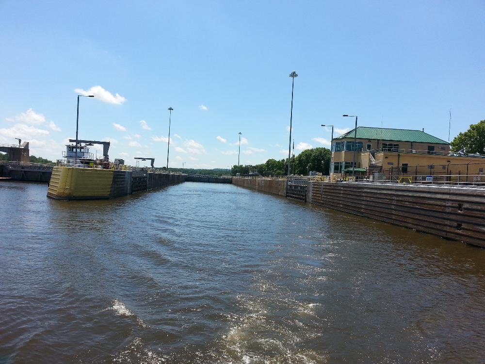
Lock and Dam 10 Guttenberg, Ia
Looking across towards the Iowa side near UMRM 562 (Bellevue Beach)